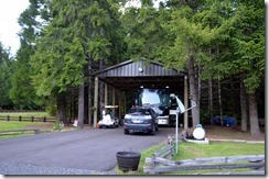
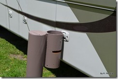
After two years of driving, it finally happened, as I knew it would. Excited about being rooted in one place for five months, I forgot to pay close attention to procedures, didn’t move the mirrors down before beginning, moved to quickly and tried to swing 45 feet through a narrow steel entrance gate without guidance from my “team mate”. When I lowered the window and meekly yelled “help”, John being John, grabbed the camera to document the occasion before helping me back up and re-enter. Scratched would be a nice way of describing the paint I tore off. Could have been worse as nothing was damaged apart from the paint. Guaranteed I will be hearing about this for the entire season, possibly even for years beyond.
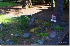
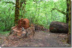
Have begun making Lone Pine Group Campground “homey”. Our trip to Wal-Martian Central (a.k.a.,Roseburg Wal-Mart) commenced the orchestrating of ornamental Pansy’s set to burst out of the top of dead rotting tree stumps and tumble down the sides. A basket of petit multicolored flowers will somersault out of their hanging container and provide an attractant for the hummingbird feeders nearby. We are nurturing herbs to flavor our salads near our front door. Eventually, a myriad of floral reds will sprout from our big brown planter parked in our driveway. Oh how I love having colors springing from a patch of dirt that I can call my very own for a whole season!
We are beginning to see various colors of hummingbirds at our feeders.
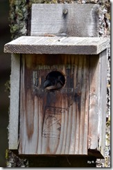
There are several bird and owl boxes near our site. Currently we have one neighbor building a nest.
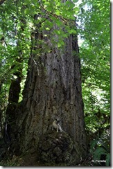
John waited several days before telling me that the largest tree on the property, the one I loved to walk by every day last season and gaze up at, had been taken down. This was the only tree that was spared from the clear cutting that wiped out the old growth trees growing here when it was a sawmill back in 1941.
Sad, but the park decided that it was a danger because of rot deep inside its core. Falling would be a hazard so they ended its reign just a few weeks before our arrival.
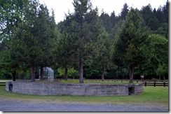
Rock Creek Saw Mill, owned by Douglas County Lumber Company, occupied this area from 1941 through 1956. We are hosts at Lone Pine, the area where the Wigwam Burner and Generator were located. Mice run rampant inside the huge hollow base of the burner that stands near our RV.
We have already begun baiting the area and KatieBug is not allowed off her leash. Our maintenance manager has been telling tales of multi thousand dollar damage done to host RV’s at other BLM sites from mice gnawing the slide/air conditioning/heating wiring. Sorry PETA but we prefer tiny wild furry things outside our home or dead, no in-between, spiders included.
Last year we hosted at Mill Pond where the Okieville Homes, living quarters for the loggers, were located when it was a sawmill camp.
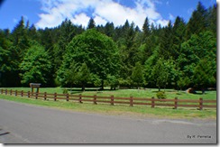
Our group campground is not as impressive as Mill Pond Recreation Area, but has far less responsibilities.
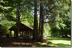
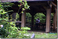
We have two small quick spray-down vault toilets, a cozy easy care pavilion,
Volley ball and horse shoe pits and fewer campsites than last year.
No swimming hole and no flush toilets/bathrooms.
Our work camp hosting begins on May 22nd so we have time to visit places we missed out on last year. Wineries, of course, and waterfalls abound within a 50 mile radius of the campground.
John got up early this morning to attempt a bike ride down Rock Creek Road and came home stating that uphill Bureau of Land Management gravel roads are not compatible with bike tires. A quick shower later we were driving down Rt.138 in search of waterfalls.
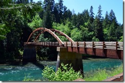
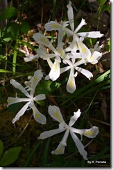
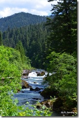
First stop was the Tioga wooden bridge that connects Rt. 138 to the N. Umpqua Trail. It is an amazing fragrantly piney wooden bridge, used by locals and visitors alike. Across the bridge was a 40 foot high snow melt falls running into the river. This is wild iris country.
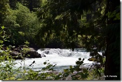
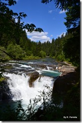
Further up the river, a quick ¼ mile hike brought the short but massive Deadline Falls into view.
Along Steamboat Creek is Little Falls, a 10 foot drop into a series of deep pools.
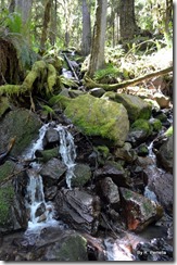
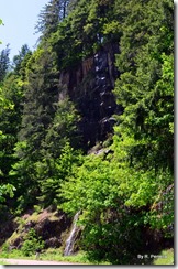
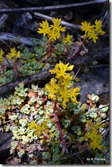
Snow melt falls followed us along the sides of the road. John and KatieBug decided to get out and explore. The rocks were imbedded with flowering succulents.
Steamboat Falls, next to Steamboat campground, is a 25 foot falls located next to the fish ladder. If you look close, you can see a lady on the right side of the pool walking towards her yellow blanket. Lots of poison oak on the trail so we did an about face after taking a picture and were on our way.
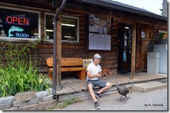
A pit stop for water at Dry Creek Market and a surprise visit by a fearless wild turkey. John had a hotdog in his hand, the critter jumped at him for a bite but John was not in a sharing mood.
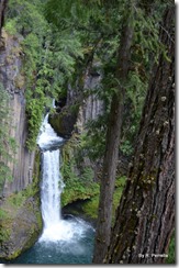
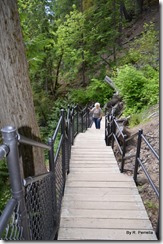
Rated a moderate trail, the 7/8th of a mile hike to Toketee Falls, with its10 foot width and 113 foot high drop to the pool below, is one of the most famous waterfalls in all of Oregon. You climb up and down a multitude of stairs.
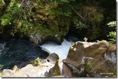
When you reached the top of the mountain, deep pools stair-stepped downward before the water reached the top of Toketee Falls.
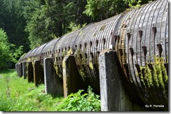
12 foot high and wooden, Toketee Pipeline diverts much of the volume of the N. Umpqua River to a powerhouse downstream.
There are 23 falls that grace the North Umpqua River and its offshoots. This year our goal is to hike to at least half.
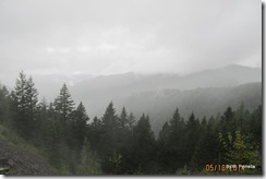
Our adventure for today was a somewhat planned, but unprepared for, a 50 mile trip from Lone Pine Campground to the town of Cottage Grove. In hindsight, this “back way out” would never need to be used by us to escape a fire. Fires would most likely start in the direction we headed as not one resident or business stood between Lone Pine and our exit at Cottage Grove. The forestry service usually lets interior fires burn out by themselves. Our logical escape would be the logging road we take to reach the town of Glide, a mere 20 minutes away. That didn’t enter our thoughts until we had traveled an hour along the dizzying switchback climb of 3,640 in elevation, with less than a quarter tank of gas, no road map, no cell connection to direct us. Not helpful was the pouring rain, fog hovering over the higher elevation of the mountain road and unmarked roads splitting off in a variety of directions. Barely noticeable in the downpour and fog was an arrow and town name spray painted on the ground directing loggers to their correct destination.
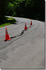
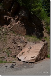
Reminiscent of Alaskan roads, logging roads have huge chunks cracked off from the edges and sometimes are split in the middle, boulders tumble down into the roadway, and trees slump over threatening to fall across your path. It took us 2 hours and the empty tank light had been on for several miles by the time we reached civilization and fuel.
I played in the water today. Well, not actually played, I sprayed and got splashed.
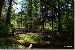
Make ready day had arrived and our first group of campers will intrude upon the quiet early afternoon. We cleaned out dead mice/spiders/hornets from the storage sheds, pressure washed the vault toilets, blew off the thick blanket of pine needles that covered the paths/campsites/tables, pressure washed the pavilion floor/tables/counters, restocked supplies and are now set for the Lone Pine Group Campground host experience and the 70 people arriving Thursday.

